Part of a series of videos and blogs tracking the development of The Groundhog, which was entered into the MAAXX Europe 2017 competition earlier this year.
Having successfully tested the re-written code to follow straight lines using velocity vectors for control and NED space mapping for line detection, we test it around a 50m track comprising 50mm wide red webbing – and we speed it up a bit as well.
The test turned out to be quite successful, with following speeds of 1.5m/s achieved under autonomous control provided by an on-board Raspberry Pi 3. This is significantly faster than the winning UAV in MAAXX Europe this year, which is quite pleasing!
The YouTube video shows both on-board and off-board camera footage, the former demonstrating the roaming regions of interest used by OpenCV to maintain a lock under varying lighting conditions.
My Masters project within the Bristol Robotics Laboratory is to design a system of UAVs that can be deployed in groups to co-operatively map the structure of their environment. This is envisaged as an internal environment, however it is expected that the technologies developed may be additionally adapted for external mapping. This series of posts documents key elements of the project. So far we have set the objectives and built an airframe based on a standard 450 quadcopter configuration.
Post Objective:
An on-board Raspberry Pi will have overall control of the UAV. This post shows how we can set up communications between the Raspberry Pi 2 and a Pixhawk flight management unit, using the Mavlink messaging protocol, so that the Raspberry Pi can take control of navigation.
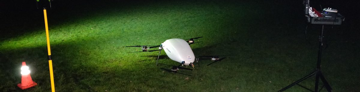
Two on-board computers and plenty of space for sensors. Oh yes, it flies rather well too!
Project Recap:
My Masters project within the Bristol Robotics Laboratory is to design a system of UAVs that can be deployed in groups to co-operatively map the structure of their environment. This is envisaged as an internal environment, however it is expected that the technologies developed may be additionally adapted for external mapping. This series of posts documents key elements of the project.
Post Objective:
This post shows the construction of the new airframe being used for development.
Initial research platform. Pixhawk and Raspberry Pi.
Research A major part of my Masters by Research at the Bristol Robotics Laboratory is the research project itself. I am developing unmanned aerial vehicles (UAVs) with the following capabilities:
Able to fly autonomously in a confined space and to map that space.
Able to join with others in a swarm to map the space about them.
Able to identify and locate others in the swarm by:
recognising broadcast ID signals;
using other means to recognise and identify other vehicles (e.g. image recognition).
The objective is that these should eventually be fixed wing, rather than multi-rotor.